& experience
GISPartner is a leading provider of IT solutions in Poland with an exceptionally rich portfolio of implementations. They include GIS systems, process management and document circulation systems, remote customer service systems and many others. We translate our experience into the success of customers for whom GISPartner solutions have often been supporting key processes for many years.
Our solutions include systems for small municipalities and powerful implementations for central authorities and business.
We have GIS in our DNA, but for over a dozen years we have also been providing comprehensive e-services for many clients.
We provide our clients with leading technologies, regardless of whether they are corporate solutions or verified open-source.
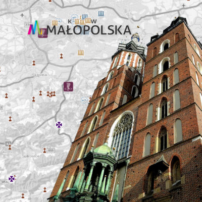
The central point for spatial information in Poland, the purpose of which is to provide citizens, entrepreneurs and public administration with spatial information useful for business, sustainable development, environmental protection and management.
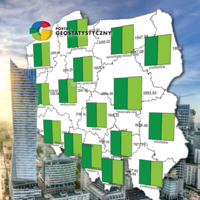
The Geostatistics Portal is a modern tool for presenting statistical data in spatial terms. It performs the functions of collecting, presenting and sharing information for a wide audience.
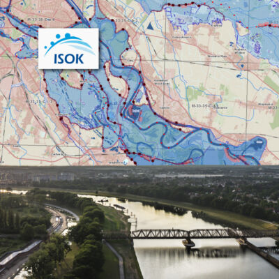
The system enables effective monitoring of the risk of the occurrence of meteorological and hydrological threats, the purpose of which is also to notify about the possibility of occurrence of threats. Its essence is to support the protection of Poland against the effects of possible threats.
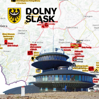
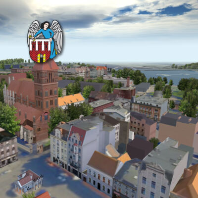
A geoportal created on the basis of our technology and developed for over 10 years, providing in one place a huge amount of geospatial information to Wrocław officials, business and residents, at the same time contributing to the development of the information society.