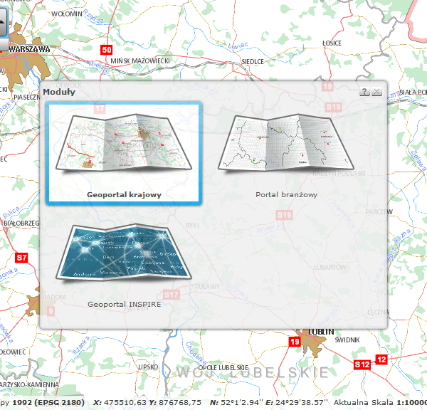
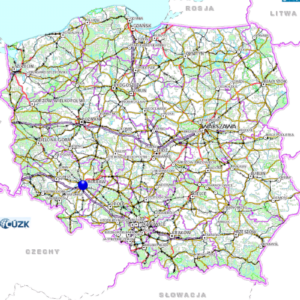
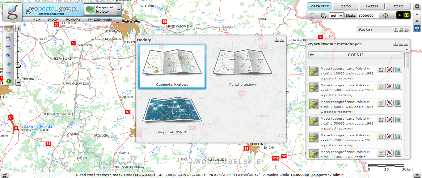
The National Geoportal is one of the most complex and important GIS projects in Poland. For many years, GISPartner has been responsible for providing technology and supporting the Head Office of Geodesy and Cartography in the development of the website. It is worth noting that the National Geoportal is intensively used by Poles. With nearly four million views in 2019, it was one of the most popular websites of the Polish administration. Due to its complexity, the website was created and is being developed in stages, and its current shape is the result of the effective implementation of many projects.
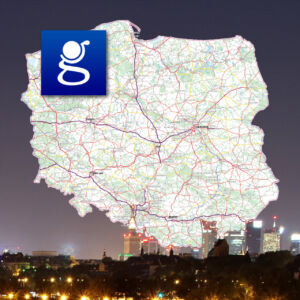
The essence of the GEOPORTAL2 project (Implementation and maintenance of INSPIRE services and their national broker, industry broker and training, for the GEOPORTAL 2 project) was the development of the Spatial Information Infrastructure in order to provide citizens, entrepreneurs and public administration with spatial information from georeferencing registers and related essential services, including: business, sustainable development, environmental protection, management.
GEOPORTAL 2 guarantees the quality, timeliness and reliability of the data. As a result of the project implementation, services related to spatial information were also made available. Through the development of the Spatial Information Infrastructure, universal access and use of spatial information in Poland was made possible.
The project ensured the integration and harmonization of services and spatial information through the use of reference / base registers, as well as the coordination of activities in accordance with the state information infrastructure model and the assumptions of the INSPIRE Directive. The order included analytical, design, implementation and implementation, documentation and training works.
As part of the project carried out by the consortium, GISPartner took responsibility for a numer of tasks, including:
- Analysis for the Geoportal System
- Extending the functionality of the existing SDI and GEOPORTAL subsystem and providing new featuers in accordance with the requirements of the INSPIRE Directive and the assumptions of using the System as a national broker of INSPIRE services
- Administration subsystem delivery
- Provision of software for the management and monitoring of data sets node and services defined by the INSPIRE Directive and the Client's requirements
- Delivery of databases and creation of new database schemas
- Software licenses delivery
- Documentation, in particular: analytical and architectural
- Training in the usage and administration of the system
- Post-implementation assistance
Other works carried for the National Geoportal project also include:
- Implementation of the G2 client application intended for integration with external systems via API;
- OpenLS Service Extension;
- Modification of the PRG replica structure;
- Creation of G2 data stores and data feed mechanisms for OpenLS services and reference dictionaries;
- Service to provide reference address dictionaries;
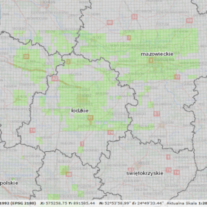
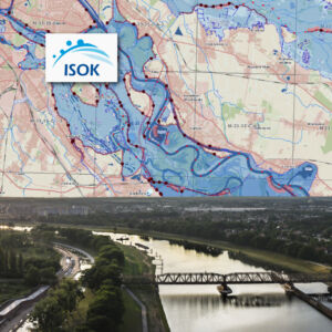
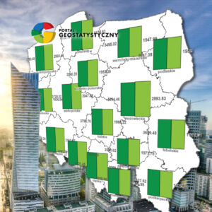
- Geostatistics module;
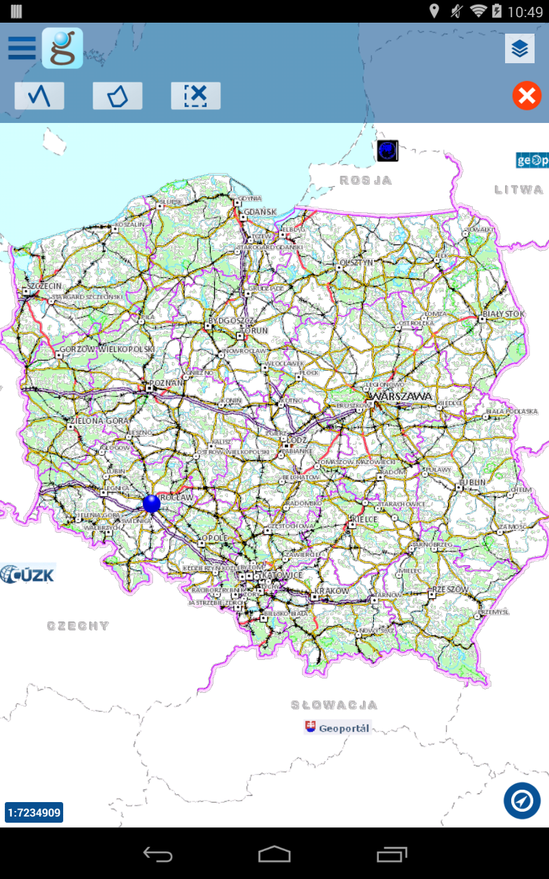
GISPartner has also provided a mobile version of the portal. The iMapMobile application provides access to OGC spatial data services and GeoServices REST.
iMapMobile for Geoportal.gov.pl provides access to state registers provided by the Head Office of Geodesy and Cartography via Geoportal.gov.pl services.
The basic groups of application features are:
- access to spatial data sets services,
- searching and locating plots of land,
- adding services, choosing map compositions,
- searching for geographic objects, including addresses.
As part of the above groups, the application provides users with a number of features, including:
- Navigation in the map window - the extent of the map will be changed (moved, increased, decreased) according to the action performed by the user,
- Browse of tile services - a map is displayed containing the content provided by tiled spatial data services,
- Adding external WMS services - the service enables the extension of map compositions with WMS services of the system service registry
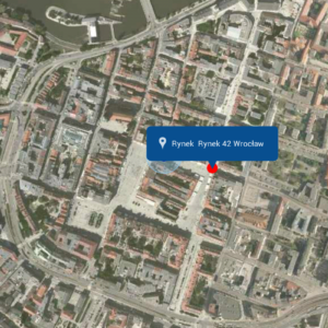
- Searching for addresses, parcels, control points - correctly entered by the user, the existing address, parcel number or point will be located in the map window,
- Length measurement - measuring the length of a line drawn on the map,
- Area measurement - allows the user to measure the area and perimeter of the area drawn on the map,
- Current position - allows the user to send an e-mail containing a link to the current map area along with the current position of the device,
Route logging and saving - allows the user to register and track their own route on the map based on the GPS signal, as well as save, display and send it in KML format.


