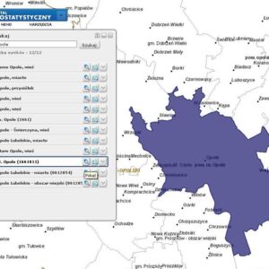
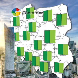
The Geostatistics Portal is a modern solution for presenting statistical data in spatial terms. It performs the functions of collecting, presenting and sharing information for a wide audience. The results of the censuses presented in the system were developed in the Analytical Microdata Database, which, using appropriate IT tools, generates various types of data summaries and statistics in the form of tables and multidimensional cubes.
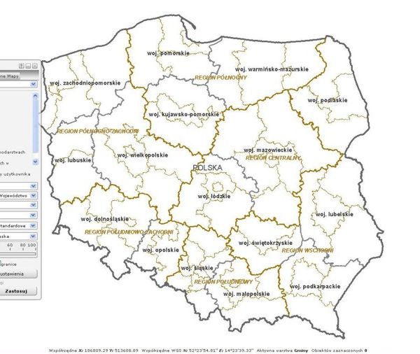
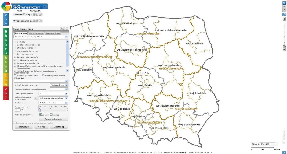
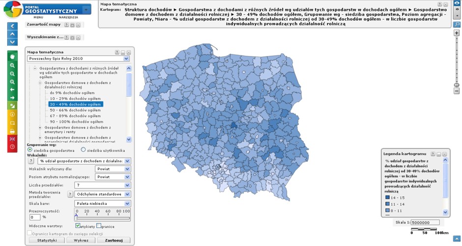
In the Geostatistics Portal, data from censuses are presented on previously prepared map bases containing the following layers: orthophotomap, administrative division, statistical division, town centroids, street network and address points. The last two layers are available only to internal users.
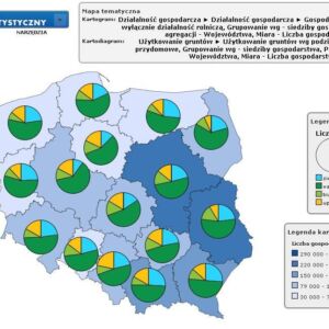
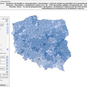
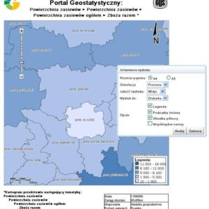
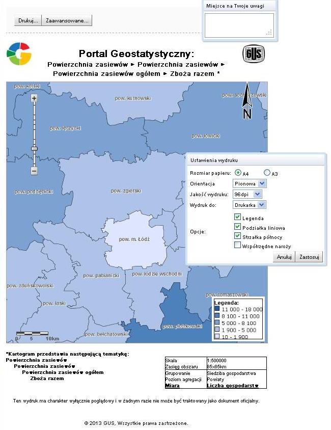
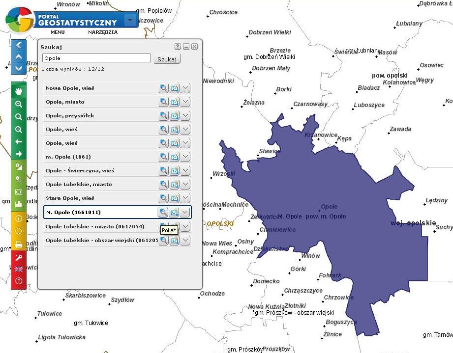
The intuitive interface of the Geostatistics Portal allows users to quickly and easily access the required statistical information. Portal users can choose a thematic phenomenon from a drop-down list or find a topic through a search engine. Data are presented using cartographic presentation methods such as choropleth maps and cartodiagrams.
The main goal of the project was to create a technology that allows users to perform advanced geostatistical analyzes using data collected as part of the research. The portal enables online spatial queries and supports the preparation of studies using existing data.
The project contributed to: increasing the work efficiency of the sector responsible for collecting, maintaining and sharing statistical data, creating a coherent electronic system for administration, through easier and faster access to information on the socio-economic situation. Users now benefit from better distribution of TERYT registry source data.
The extensive data editor enables an easy and much wider scope of data import and export, which significantly optimizes the process of carrying out the tasks of local and central units.
The function of reference and operational data replication has been expanded, for which dedicated geoprocessing tools are used.
Searching in the system has been enriched with mechanisms that allow to set more detailed criteria for the plot, street or other objects you are looking for. Object service has gained greater flexibility, e.g. the possibility of correcting topology or errors of census area boundaries.
