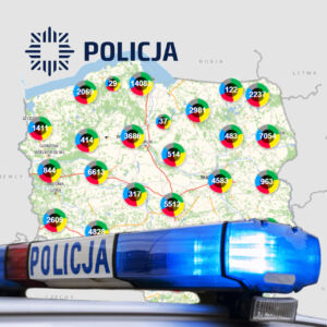
Urząd Marszałkowski Województwa Dolnośląskiego
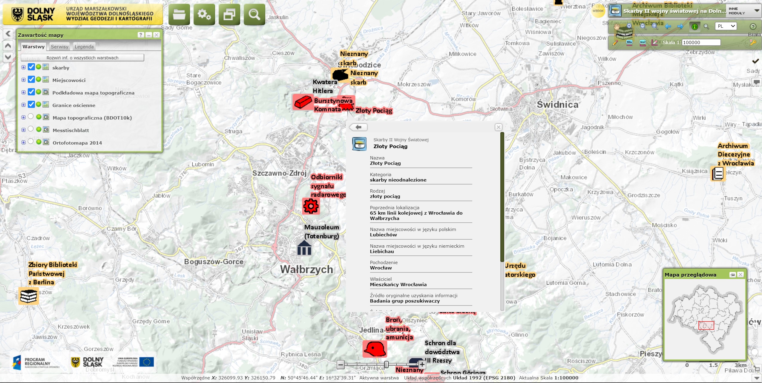
For the Marshal's Office of the Lower Silesian Voivodeship, an IT system was prepared for the project: "Implementation of Spatial Information Infrastructure (SII) for the needs of providing access to data sets of the Topographic Database by launching a web application and including data sets of the Provincial Center for Geodetic and Cartographic Documentation in Wrocław and the Lower Silesian Spatial Information System to the created SII along with the provision of technical support."
The work consisted of two stages. Stage I concerned the implementation of the Spatial Information Infrastructure (SII) for the purposes of providing access to the Topographic Database datasets, by launching the Internet application as part of the project, co-financed by the Regional Operational Program for the Lower Silesian Voivodeship for 2007-2013 under the name "Building the system Topographic Databases as a platform for the Lower Silesian Spatial Information System."
Stage II included the inclusion of the data sets of the Provincial Geodetic and Cartographic Documentation Center in Wrocław and the Lower Silesian Spatial Information System to the SII.
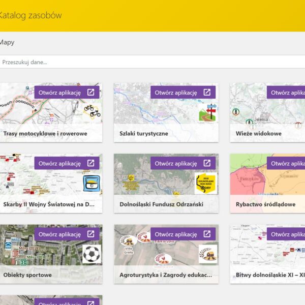
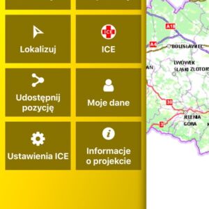
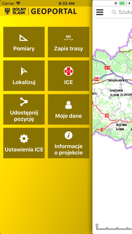
Modules overview:
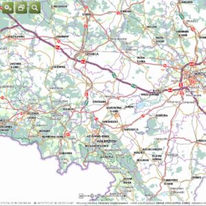
- topographic map and the voivodeship,
- orthophotomap with the possibility of comparing changes over time in 2006-2010
- sozological map
- hydrographic map
- soil and agricultural map
- water erosion
- wind erosion
- soil properties
- land purpose changes
- exploitation of rock deposits
- location of special economic zones
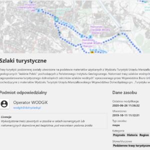
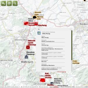
- thematic maps
We can use the "shop" module, containing:
- map selection form
- interactive selection (and multiselection) of sheets in the service map window on the basis of any drawn area
- highlighting of found sheets in the map window
- highlighting the sheets selected for purchase in the map window
- the ability to generate a complete order for selected map sheets in MS-Word and PDF