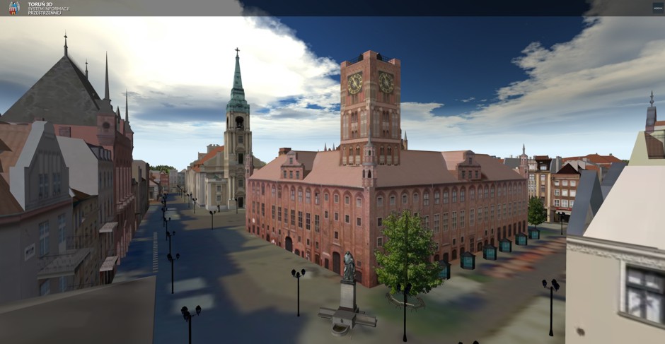
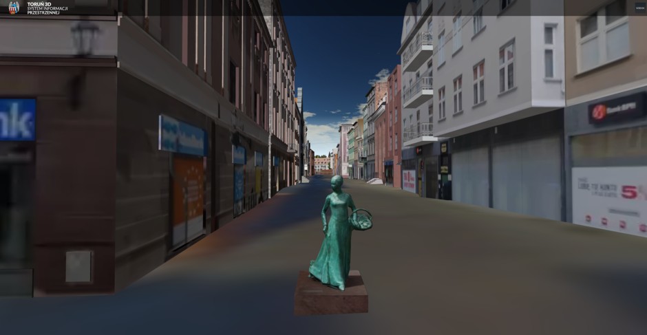
Virtual walk through the streets of Toruń
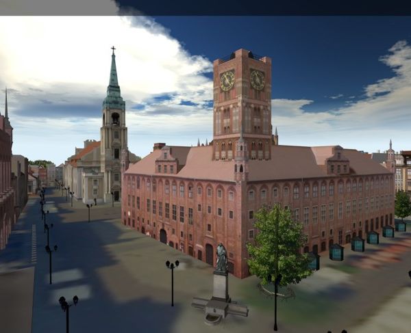
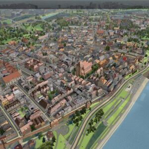
GISPartner has completed a project for the City Hall in Toruń for the construction of an IT, three-dimensional model of the Old Town with its buffer zone, with particular emphasis on the protected area of Kępa Bazarowa, in the form of the "Toruń 3D" Spatial Information System.
The main assumptions of the Toruń 3D system are:
- Promotion of the cultural and historical values of the city of Toruń by providing wide Internet access to the interactive 3D model of the Old Town and Kępa Bazarowa
- Providing tourists with information about the city's tourist attractions (and services for tourists) in the area of the Old Town and Kępa Bazarowa
- Inventory of the existing cultural and natural environment of the city of Toruń (in the Old Town and Kępa Bazarowa)
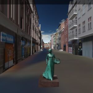
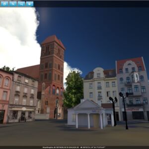
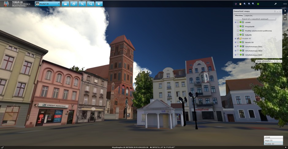
In total, about a thousand 3D objects of buildings, viaducts, bridges, monuments and vegetation were created. Both for tourists and residents, the portal has been provided with thematic layers, i.e. tram and bus lines, parking lots, small architecture buildings, monuments, monuments, cultural institutions, offices and others.
The 3D module allows you to set the display of portal scenes using sliders in the scope of sunlight (depending on the time and date) and fog.
One of the modules that the city authorities want to use extensively are "City Games". In the future, the office would like to use the platform to organize these games. Their participants, moving among the 3D models, will look for the marked points. Whoever finds them will receive a reward.
The entire system is based on the proprietary application of GISPartner - iMap3D, which enables the processing of data from airborne laser scanning (LiDAR). The solution requires only a browser that supports the WebGL standard.
The system implemented by GISPartner for the City of Toruń is one of the first systems in Poland developed in this technology. The proprietary iMap3D application is compatible with the portal solution implemented so far on the iMap platform. Thanks to this, 3D data is another module on the list of available map compositions and the user can use standard application functions.

