Urząd Marszałkowski Województwa Małopolskiego
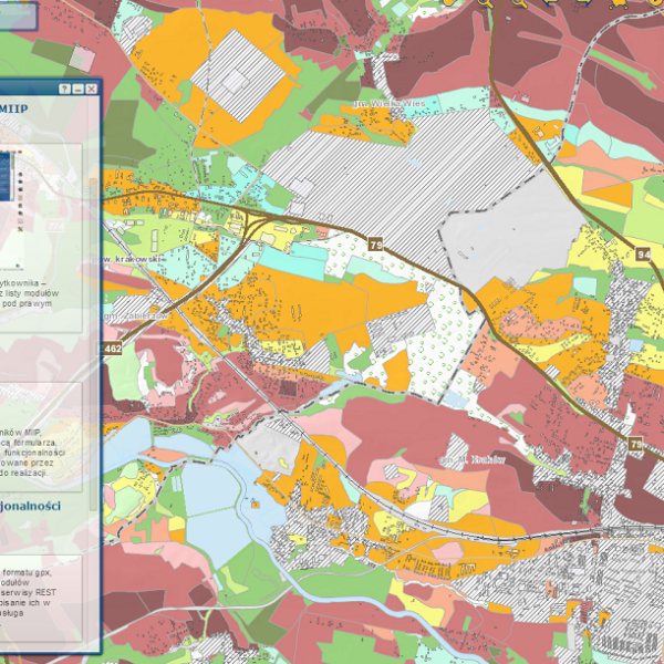
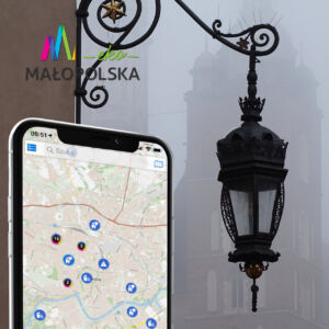
Lesser Poland Infrastructure of Spatial Information (MIIP) is one of the most extensive and rich in content regional geoportals. GISPartner and the consortium participated in the project in the field of searching, browsing, downloading and data exchange services, along with the expansion of the existing application and hardware infrastructure.
The Lesser Poland Infrastructure of Spatial Information is a project aimed at both the society and public institutions using spatial information. As part of the system, the voivodeship provides reference data that is used by institutions to create their own spatial studies and update the data and services provided. Therefore, MIIP improves the functioning of the administration at the level of voivodeships, poviats and communes, it also provides mechanisms for the expansion of databases with new resources and services, and contributes to improving the quality of service for public entities.
The Lesser Poland Infrastructure of Spatial Information, as a regional system, meets the requirements of the INSPIRE Directive by: publishing metadata for spatial data sets and services and updating them on a directory server compliant with OGC CSW 2.0.2 and ISO Application Profile 1.0.0, it also provides access to a search, browse and download service and more.
The MIIP system is built using the latest GISPartner solutions based on Esri's GIS software (ArcGIS family).
Selected elements of the project:
- OGC services client application was implemented;
- a web application was implemented to manage users and their access rights to map services and the catalog service;
- a catalog server was delivered and implemented based on OGC CSW 2.0.2 and ISO Application Profile 1.0.0, along with the recommended operating system;
- a web service of a metadata editor for sets, series and spatial data services was implemented;
- monitoring service has been implemented;
- a server for spatial data services has been implemented and configured
- a data model for WODGiK data sets was developed and physical structures in the database management system were created
- migration to the structures approved by the Ordering Party and publications in the form of WMS and WFS services as well as buffered and tiled ArcGIS Server REST services.
A significant element of the project was the conversion of analog data used by the Voivodship Office into digital form by GISPartner. In this way, thematic map compositions were created, containing 25 websites included in the Lesser Poland Infrastructure of Spatial Information.
A particularly interesting part of MIIP is a unique statistical module, the functional design of which and ideas for implementation were prepared by GISPartner in cooperation with the Department of Geodesy of the Marshal's Office. This module allows you to create choropleth maps and diagram maps (also with their simultaneous presentation), both for data that has already been defined by the administrator, and for any user data relating to the areas of communes and poviats.
The prepared diagrams can be freely edited, display histograms, and print your own statistical studies. This module can be widely used both by public administration and for teaching purposes (schools, universities).
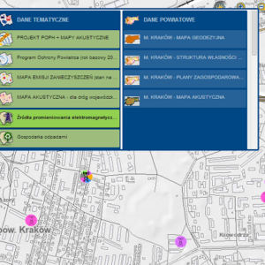
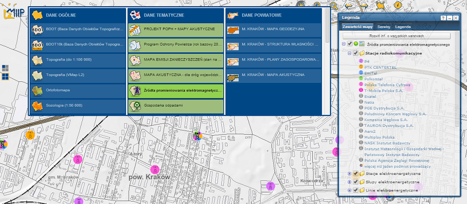
Summarizing the thematic scope of information available in MIIP, the following modules can be listed:
- Statistical module
- Geodetic map of the city of Krakow - the content of the land and building register with elements of the basic map
- Culture - cultural events, bookstores of the "Book and Rose" edition
- Voivodship real estate - plots owned by the Małopolska Voivodship and buildings belonging to the Voivodship or voivodship organizational units
- Tourist facilities - inns, conference facilities, agritourism facilities
- Thematic routes - the route of wooden architecture, objects of the route of the eastern front
- Special economic zone - presents complexes where investors can run a business on preferential terms
- Sources of electromagnetic radiation - radio communication and electromagnetic stations, poles and electromagnetic lines
- Hospitals - presents public and private hospitals from the voivodeship area with information about wards. In addition, the same map composition includes the layer indicator of the number of beds, which presents the number of beds in individual wards per 10,000 inhabitants, broken down by poviat
- Waste management - presents battery processing plants, vehicle collection points, vehicle dismantling stations, landfills and installations for their management
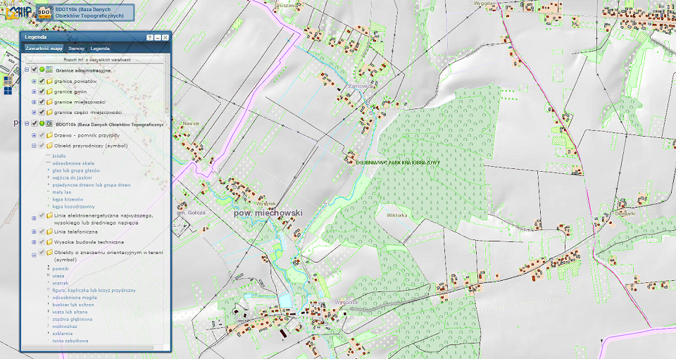
- Database of Topographic Objects
- Pollution emission map
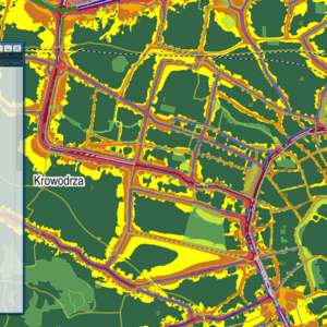
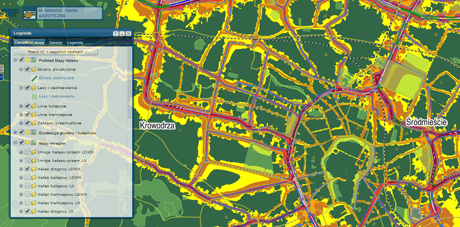
- Acoustic map
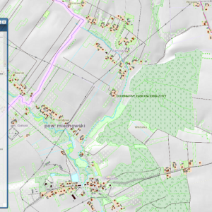
- Nature protection - nature monuments, ecological sites, documentation sites, protected landscape areas
- Orthophotomap
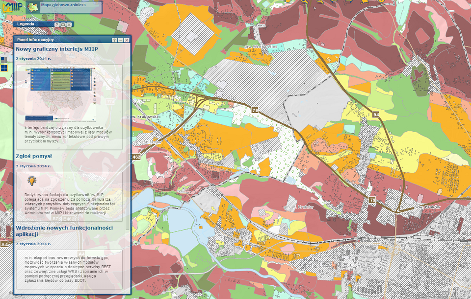
- Topography, sozology, hydrography
The wide range of available tools, provided by the iMap platform, includes:
- full-text search,
- multiselection of objects of one layer based on the intersection with a sketch created from selected objects of another layer, e.g. increased by a buffer,
- the ability to create attribute lists for selected objects,
- the ability to measure height, area, distance,
- creating choropleth maps and diagram maps in the statistical module,
- implemented specification and support for the following map services: WMS, WFS / WMTS, WCS, ArcGIS Server (including for REST and SOAP).
The idea of the client is to provide wider and more complete information to the public. The idea of GIPartner is also to create such solutions that can be expanded and updated at any time in accordance with new standards and requirements, so as to fully meet the needs of customers.

